- (UAVs) for land and Project Sites.
- Ortho mosaic Maps, 3D Models.
- Reduces on-site Manpower.
- Integrated with CAD, GIS, and DGPS
- Quick Turnaround Reports..
- Identified Site Conditions Clearly.
- Supports Better Decision Making.
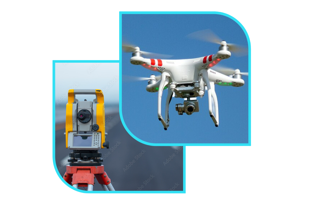
Drone- Survey-
- ➡️ Drone survey uses unmanned aerial vehicles (UAVs) to capture high-resolution aerial images and videos of land and project sites.
➡️ It provides fast, accurate, and cost-effective data collection for large areas compared to traditional surveys.
➡️ Drone surveys generate orthomosaic maps, 3D models, contour maps, and elevation data with high precision.
➡️ Ideal for topographical mapping, land development, road projects, mining, and construction monitoring.
➡️ Helps identify terrain variations, encroachments, drainage paths, and site conditions clearly.
➡️ Reduces on-site manpower and improves safety in difficult or inaccessible areas.
➡️ Data can be integrated with CAD, GIS, and DGPS for detailed analysis and planning.
➡️ Delivers quick turnaround reports with accurate digital outputs.
➡️ Supports better planning, decision-making, and project execution.hip.nt.
Key Features