
-
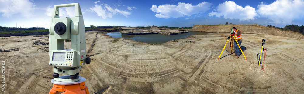
 Identifies exact property boundaries as per government records.
⦁ ➡️ Identifies exact property boundaries as per government records.
⦁ ➡️ Confirms ownership details using RTC, Pahani, Tippan, Akarbandh, and mutation documents.
⦁ ➡️ Ensures your land dimensions match official revenue department maps.
⦁ ➡️ Helps prevent boundary disputes, encroachments, and legal issues.
⦁ ➡️ Essential when buying or selling land, fencing property, or starting construction.
⦁ ➡️ Useful for Khata transfer, record correction, and updating land documents.
⦁ ➡️ Provides accurate, government-recognized land measurements.
⦁ ➡️ Gives landowners clarity on shape, size, and location of their property.
⦁ ➡️ Supports safe decision-making with a legal and verified survey report.
⦁ ➡️ One of the most important surveys for secure and dispute-free land management.