
Cadastral & Revenue

Govt-Survey

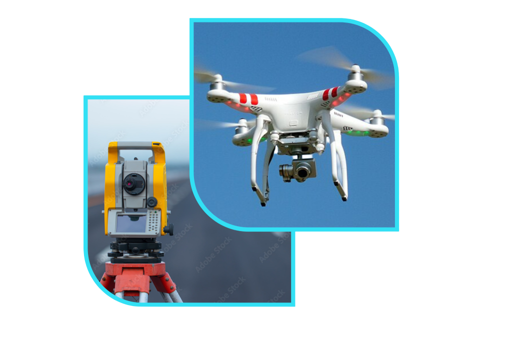
Drone Survey

Building plan & Approval
GIS- Survey
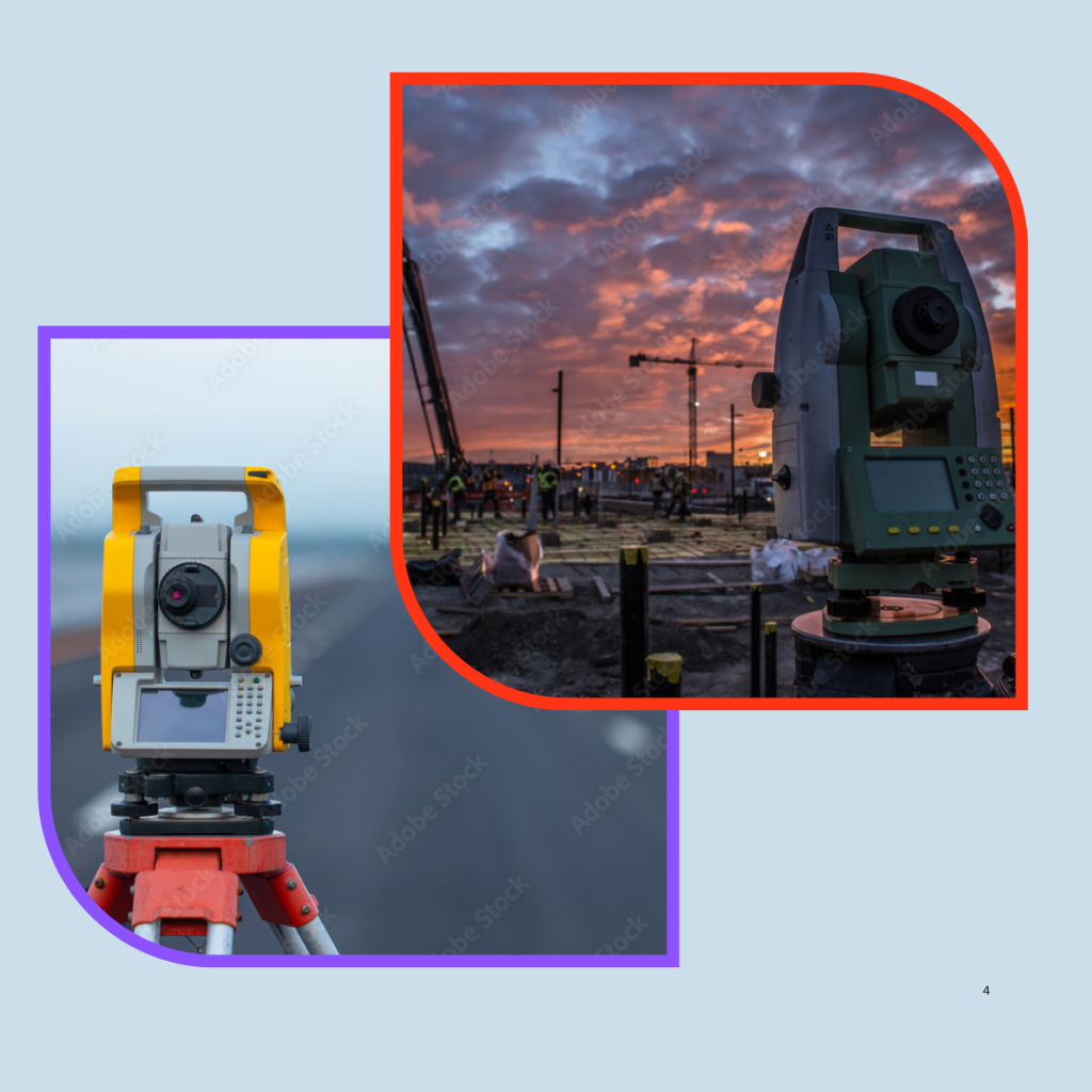


Topographical Survey
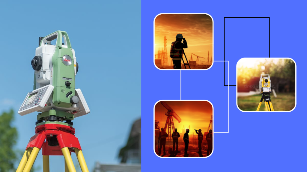
➤1.Construction Planning & Design.
➤2.Land Development & Layout Planning.
➤3.Road, Bridge & Infrastructure Projects.

Boundary Survey
➤1.Exact Property Line Identification.
➤2.Physical Boundary Marking on Site.
➤3.Verification with Official Government Documents

Tank Survey
➤1.Accurate Waterbody Boundary & Area Mapping.
➤2.Capacity, Depth&Contour Level Analysis.
➤3.Technical Data for Restoration & Development

Alignment Survey
➤1.Precise Centerline & Route Marking.
➤2.Detailed Horizontal & Vertical Alignment Data.
➤3.Obstruction & Terrain Mapping Along the Route

Road Survey
➤1.Accurate Alignment, Levels & Gradient Mapping.
➤2.Detailed Cross-Sections & Ground Profile Analysis.
➤3.Identification of Obstacles & Right-of-Way Details

Soil Test
➤1.Soil Strength & Bearing Capacity Analysis.
➤2.Identification of Soil Type & Composition.
➤3.Detection of Groundwater Level & Soil Stability

Route Survey
➤1.Detailed Mapping of the Proposed Travel Path.
➤2.Horizontal & Vertical Profile Data Collection.
➤3.Identification of Obstructions & Right-of-Way Requirements

HydroGraphyc Survey
➤1.Accurate Water Depth & Underwater Terrain Mapping.
➤2.Identification of Waterbody Boundaries & Shoreline Features
➤3.Analysis of Flow Patterns, Sediments & Water Behavior

CAD & Allied Survey
➤1.High-Accuracy Digital Drawings & Mapping.
➤2.Integration of Multiple Survey Data Sources.
➤3.Custom Drafting for Engineering & Construction Needs

Layout Planning
➤1.Scientific Plot Division & Road Network Design.
➤2.Accurate Demarcation & On-Ground Marking.
➤3.Compliance with Government Rules & Approval Standards
DGPS & KLM Survey
➤1.High-Precision Positioning with Sub-Meter Accuracy.
➤2.KLM (Keyhole Markup Language) Mapping for Digital Visualization.
➤3.Ideal for Large-Scale & Remote Area Surveys
Setting Out Works
➤1.Accurate Transfer of Building Plans to the Ground.
➤2.Precise Levels, Angles & Reference Marking.
➤3.Error-Free Execution & Continuous Monitoring.